Roosevelt National Forest plans prescribed burns - Potential weather opportunity arrives in coming weeks
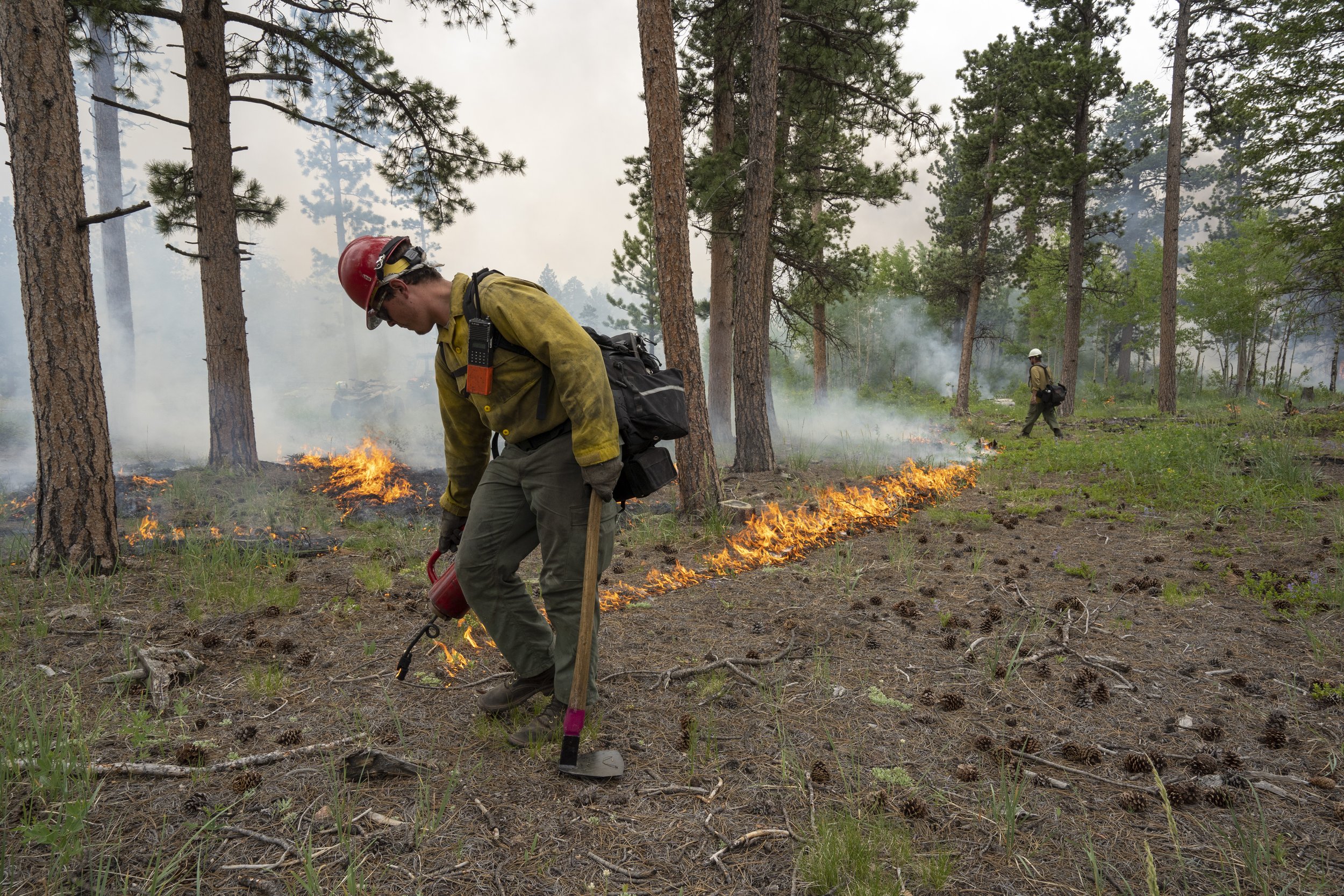
Magic Feather prescribed burn, June 2021 (Evan Barrientos Photography)
Fort Collins, CO, October 6, 2026 – Roosevelt National Forest fire managers are considering a potential window of ideal weather and ground conditions for prescribed fire ignitions in western Larimer County, pending all required approvals. This work could begin in coming weeks and continue through early winter, as weather conditions allow.
Prescribed fire is part of a cohesive strategy to prepare communities, recreation areas, watersheds and critical infrastructure to survive wildfires. Prescribed fire removes smaller vegetation, as well as the build-up of pine duff, wood and other fuels that help wildfires spread under extreme conditions. Prescribed fire also helps fire-adapted species like ponderosa pine remain strong and resilient, improving overall forest health.
Fall is historically a productive time for broadcast burning in Northern Colorado, with cooler temperatures and low moisture in dormant plants like grasses and shrubs. When identifying opportunities to conduct prescribed burns, fire managers closely monitor short-and long-term weather forecasts for the region and immediate burn area. They also measure fuel moisture and assess firefighting resource availability locally and regionally. These criteria are reviewed with leadership prior to proceeding with ignitions. If the required conditions are not present at the site on the day of a planned burn, ignitions are postponed or canceled.
Potential prescribed fire projects include:
Magic Feather Prescribed Burn, south of County Road 74E (Red Feather Lakes Road). Red Feather Lakes, Dowdy Lake campground and Lady Moon and Mt. Margaret trails, may experience smoke during this burn.
Salt Cabin Prescribed Burn, 2 miles southeast of Rustic, Colorado, and south of the Cache la Poudre River. Areas along the Poudre River corridor (Colorado Highway 14) may experience smoke during this prescribed burn.
Prescribed fire smoke may affect your health. For more information, visit “Wood Smoke and Your Health.” When driving in smoky areas, slow down and turn on your headlights.
Trails and trailheads within the project areas may be closed to the public during burning operations for safety. Watch for informational signage along roads near all prescribed fire areas before and during burns. County emergency management officials will be notified when burning begins. Firefighters remain on scene throughout ignitions and patrol following the burn.
For up-to-date information on prescribed fire activity, follow the ARP on Facebook, X or Inciweb. You can also check our prescribed fire map.