“Reach 16” at Signature Bluffs
Project Background
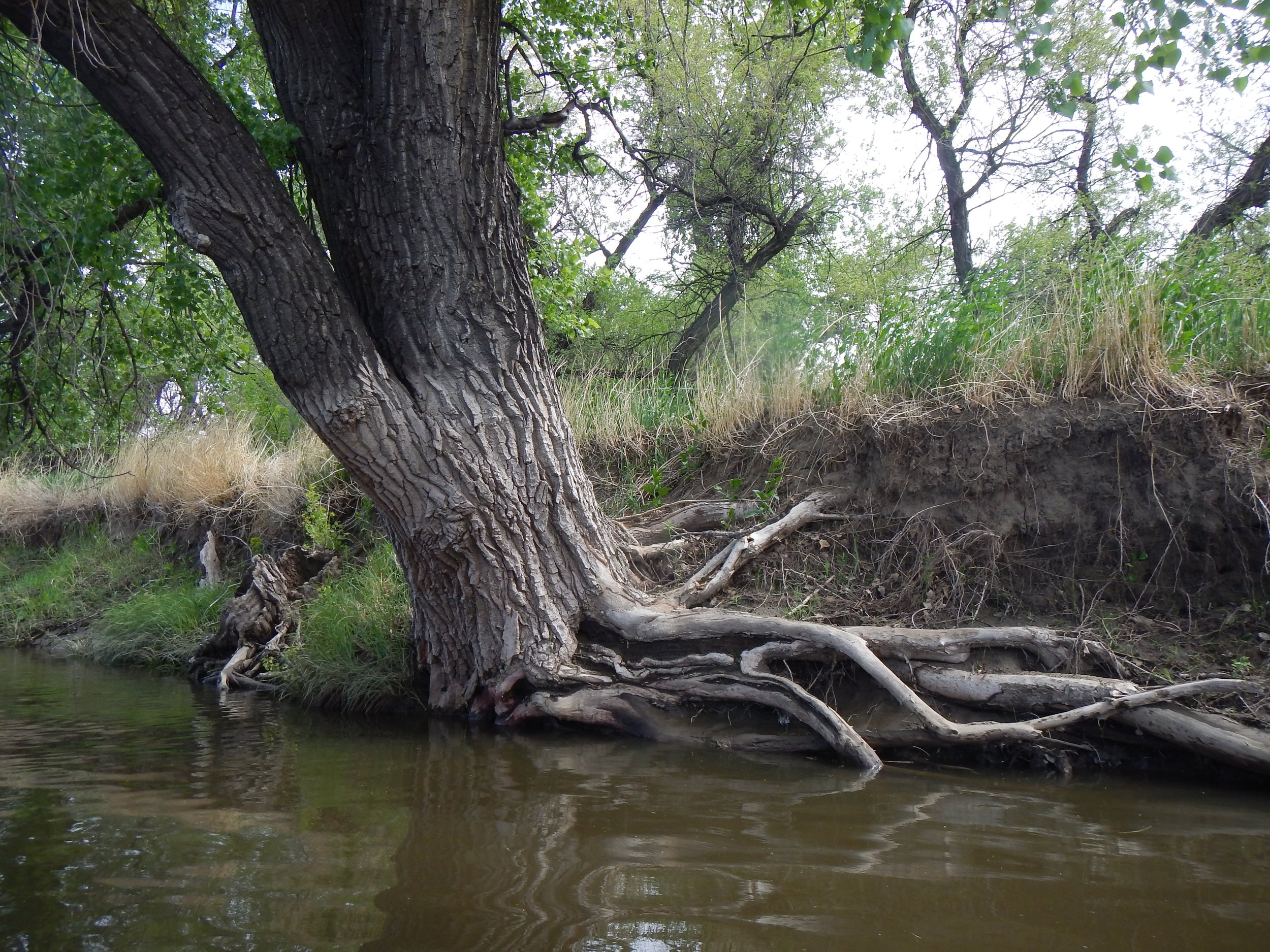
Reach 16 starts at the location of the Greeley Number 3 headgate and then travels around a large bend where larger cobbles have been deposited. The historical river channel changed after the 1983 flood event. Public observations point out lots of flooding in this reach.
The Lower Poudre Steering Committee selected Reach 16 as our next focus area in the Lower Poudre Watershed following design work on Reach 13. Reach 16 was identified as the 5th priority for restoration out of the 28 total reaches in the Lower Poudre Master Plan. There are two large landowners along this reach including the City of Greeley and Aggregate Industries, as well as other private land owners. Because a large portion of the Reach is owned by Greeley and is not undergoing active gravel mining, we anticipate reaching the design-build phase more quickly than Reach 13. Finally, between 2015-2023, the City of Greeley Natural Areas worked with the Army Corps of Engineers to include the design phase, construction, and post-construction establishment and monitoring to restore native grassland and wetland habitat in the upland areas of Reach 16, known as the Signature Bluffs Ecosystem Improvement Project.
When implemented, the Reach 16 project will help reconnect the Poudre River to its floodplain which will further enhance the existing restoration work at this location.
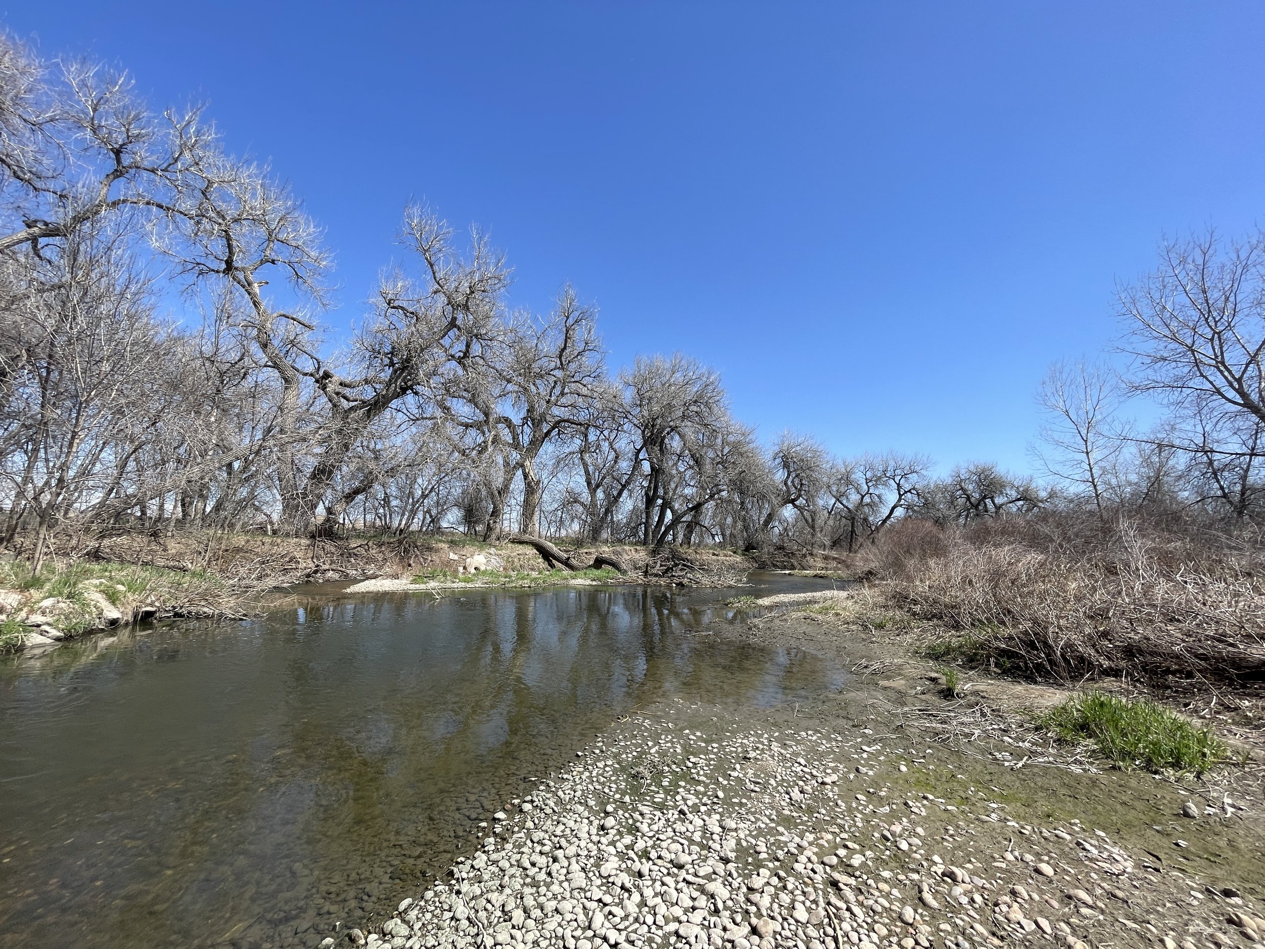
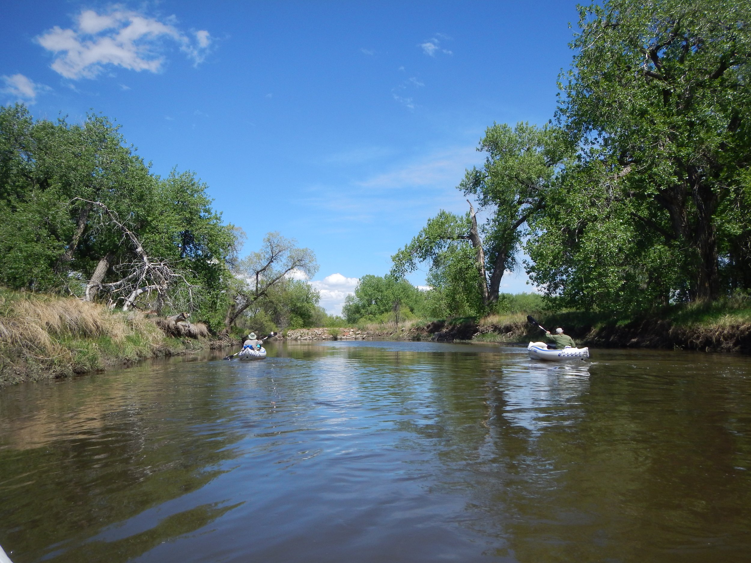
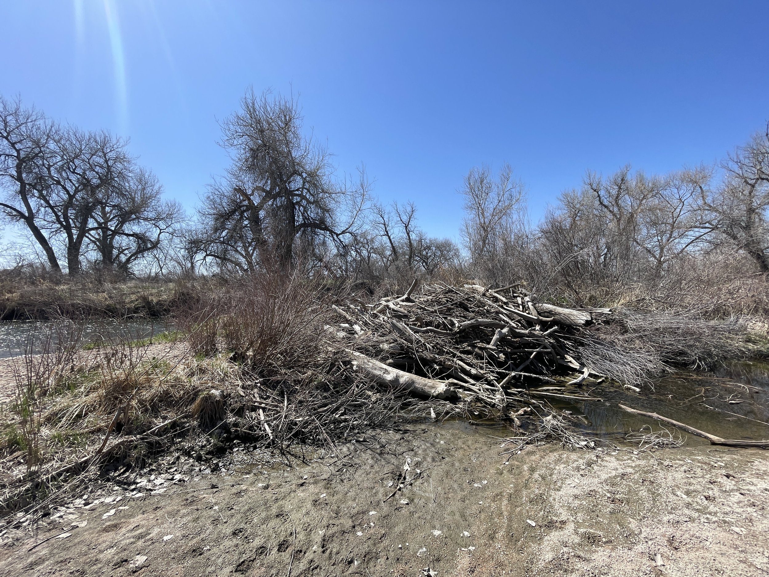
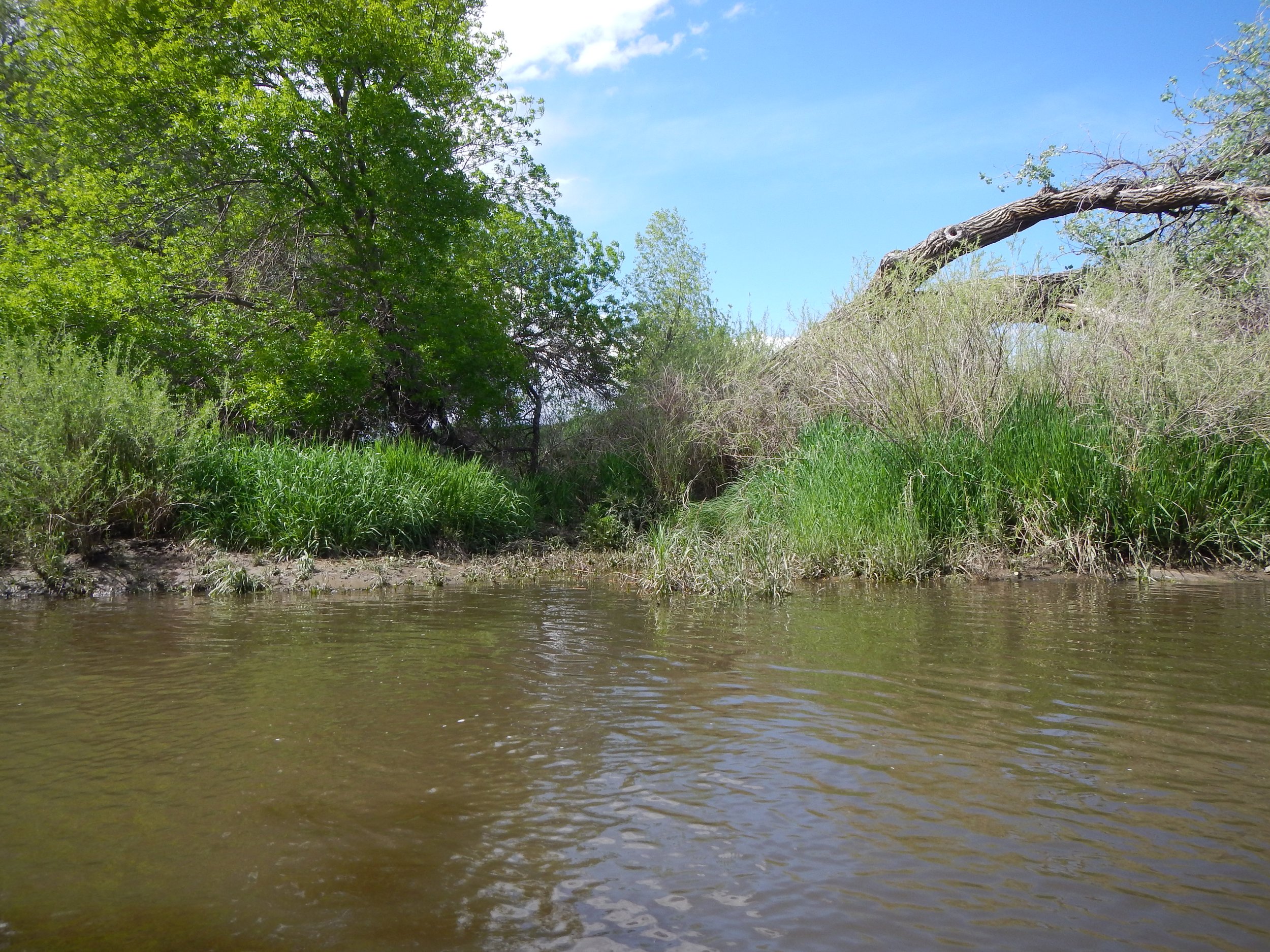
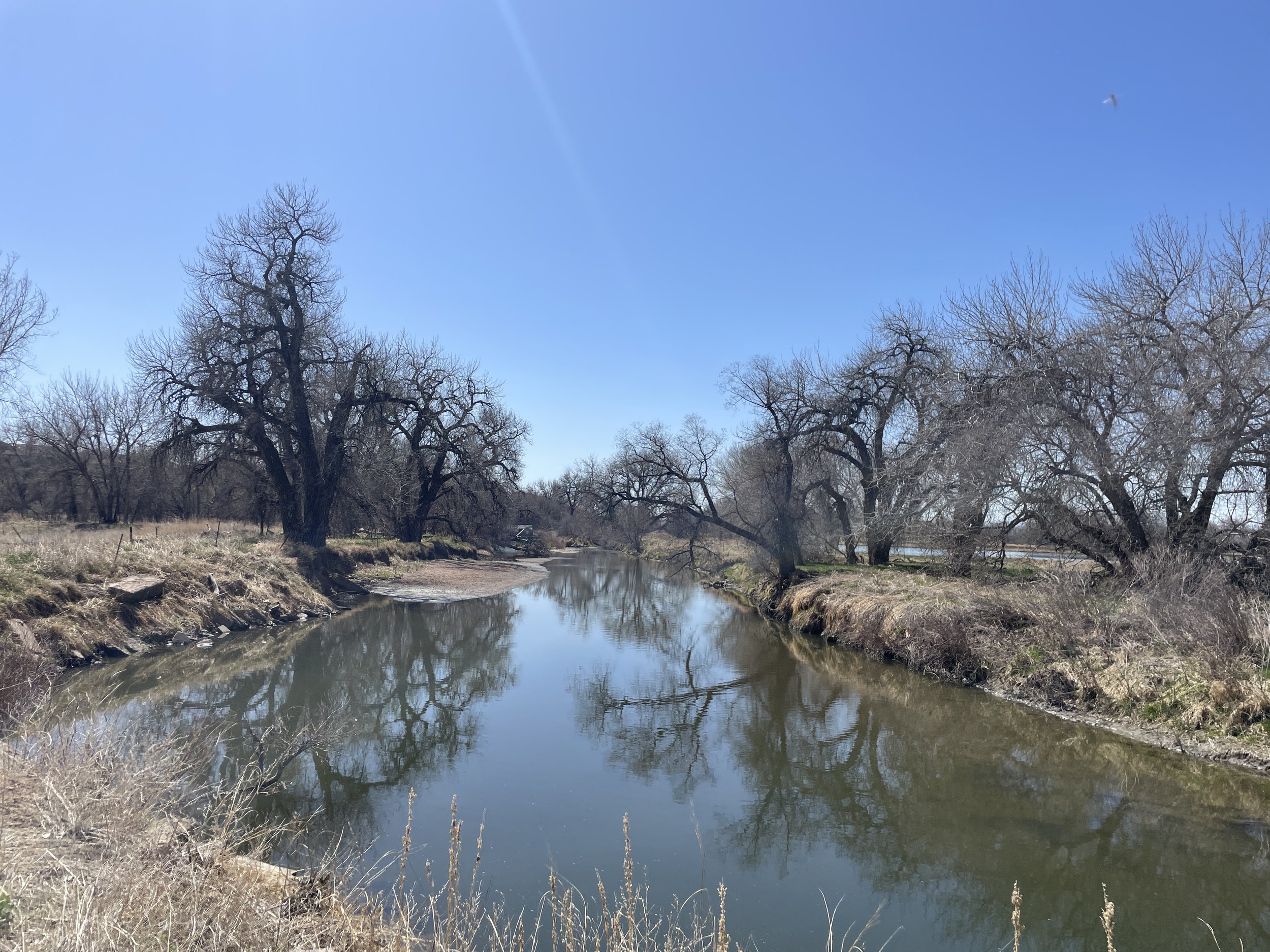
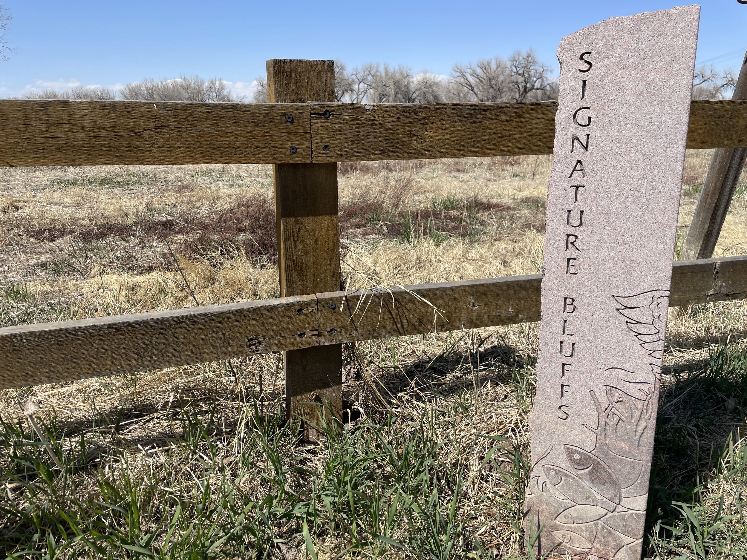
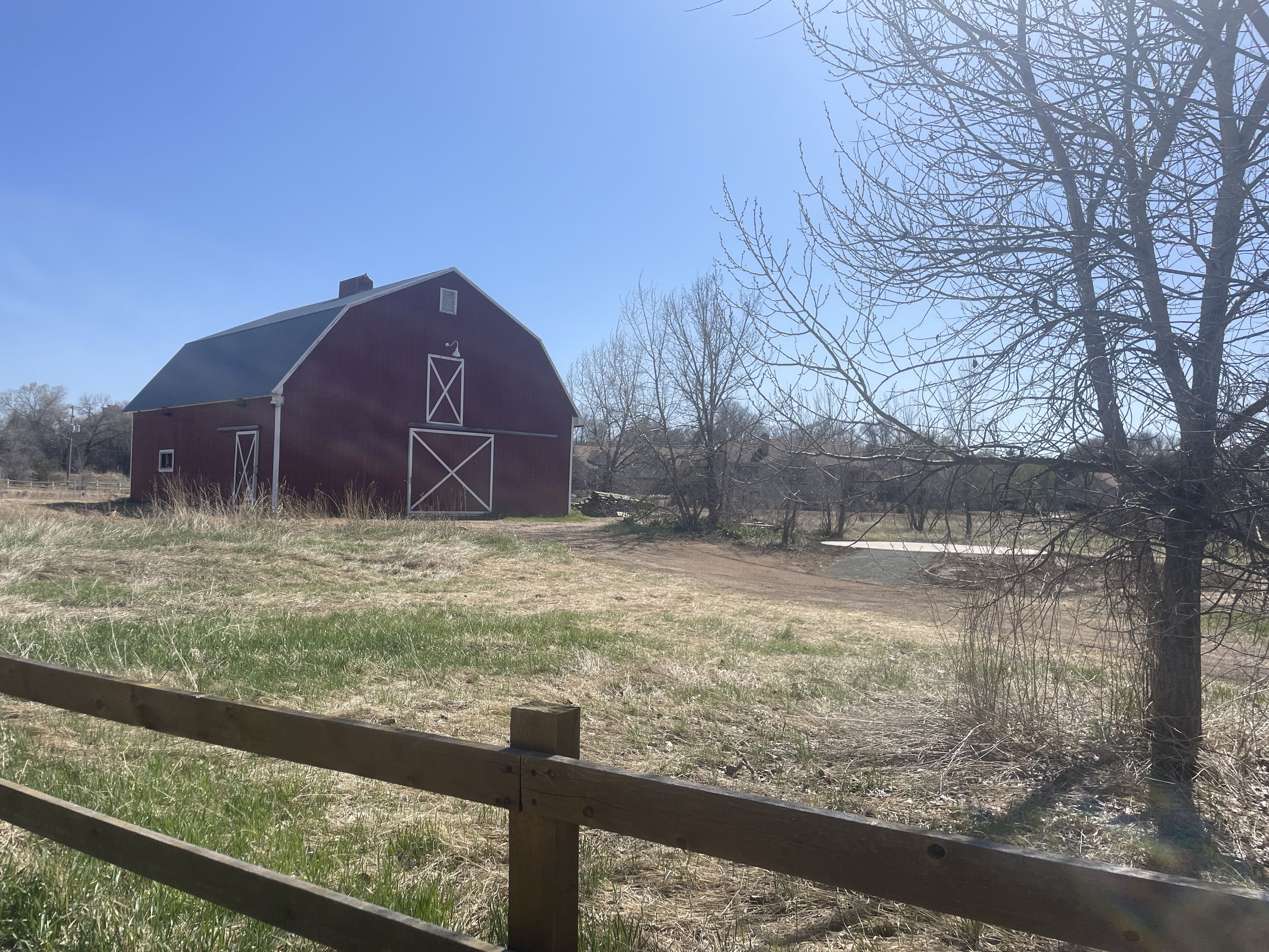
Photos: Site visits to Reach 16 between 2017-2024.

Extent of CPRW's working boundaries - the Cache la Poudre watershed from headwaters to confluence (outlined in black). The hashed orange area shows the lower portion of the watershed. Our planning & outreach efforts focus on the river, east of the I-25 (dark blue line).

Reach 16 concept plan from the Lower Poudre Master Plan.
Project Goals & Benefits
Build successful and effective community, landowner, and stakeholder relationships to enable watershed restoration planning
Improve floodplain connection and aquatic habitat
Partners
Otak
City of Greeley Water & Sewer
City of Greeley Natural Areas
US Army Corps of Engineers
Private landowners
Funders
Colorado Water Conservation Board - Colorado Water Plan
Bureau of Reclamation - WaterSMART Program
City of Greeley Natural Areas
Mighty Arrow Family Foundation
Patagonia
Poudre Heritage Alliance
Timeline
80% Design Anticipated Completion - December 2026